Ontario Lake and Toronto Islands
(All the pictures have been taken by Elena)
Comprising the only group of islands in the western part of lake Ontario, the Toronto Islands, formerly known as Island of Hiawatha and as Menecing Islands are a chain of small islands in face of the city of Toronto, located just offshore from the city centre.
These islands provide shelter for Toronto Harbour and they are a popular recreational destination. The chain is also home to a small residential community and to the Billy Bishop Toronto City Airport. The Toronto islands comprise the largest urban car-free community in North America, though some service vehicles are permitted. Recreational bicyclists are accommodated on the ferries. Bicycles, quadracycles, and canoes can be rented on the islands as well.
 |
| The meandering channels between the sandy and tree-covered islands can clearly be seen. |
The Toronto Islands are connected to the mainland by several ferry services and an underwater 800 feet (240 m) pedestrian tunnel which will connect the Toronto mainland at the foot of Eireann Quay to the airport terminal at the Billy Bishop Airport. The pedestrian tunnel has moving sidewalks and elevators at both ends. On the island side, an escalator has also been constructed.
The total area of the islands is about 230 hectares (570 acres). The largest island is called Centre Island. It is crescent-shaped and forms the shoreline of both the Eastern and Western Channels. Algonquin (Sunfish Island) and Olympic Island are two of the other major islands. The former is mostly a residential area and the latter home to the city’s Island Public Science School.
 |
| Access is restricted to private watercraft, public ferries or small plane transports that frequently land at the Billy Bishop airport that resides at the far western end of these islands. |
The so called Ward’s Island is actually the eastern end of Centre Island and like Algonquin is a residential area. Confusingly, Centre Island Park is located on Middle Island, which is as a consequence often mistaken for Centre Island. Centre Island is sometimes referred to as Toronto Island (note the singular form) to prevent this type of confusion.
Other smaller islands include Forestry Island which is heavily forested and has no fixed link to other islands; Snake Island is partially forest and beach facing Toronto Harbour (Snake Island Park) with an access from pedestrian bridge on south side to Centre Island; South Island is used for mooring and on-land storage of boats by the Royal Canadian Yacht Club; east end of island is cut off at Chippewa Avenue and covered by trees; a tennis courts located on west end of this island; RCYC Island, home of Royal Canadian Yacht Club with clubhouse, moorings and other club facilities, it has private pier for RCYC launches Kwasind and Hiawatha to mainland. Two unnamed islands occupy what was once Block House Bay: ringed island in Long Pond, located across from Mugg’s Island, its small sandbar allows boats to moor alongside and a small island in Lighthouse Pond sometimes called Hanlan’s Island.
 |
| Great Ontario Lake. |
 |
| Evening on Ontario Lake. |
The islands were originally a long peninsula or sand spit extending from the mainland, as these formations are composed of alluvial deposits from the erosion of the Scarborough Bluffs. The flow from the Niagara River to the south across Lake Ontario causes a counter-clockwise east-to-west current which has, over time, deposited sediments at the south end of the harbour to form a sand spit.
In 1852, a storm flooded sand pits on the peninsula, creating a channel east of Ward’s. The so called Eastern Cap channel was widened and made permanent by another storm in 1858.
 |
| A jet over the Ontario Lake |
 |
| A plane over the lake, taking off from the Billy Bishop Airport. |
 |
| The lake as seen in winter from the Guild Park. |
 |
| Blue see. |
The peninsula to the west of the Eastern Gap became known as the Toronto Islands. To the east of the Gap, the area of today’s Cherry Beach was known as “Fisherman’s Island”.
Sediment deposition was halted in the 1960s when the Leslie Street Spit was extended beyond the southern edge of the islands. Left to nature, the islands would diminish over time, but this is limited due to hard shore lines built to limit erosion.
A series of waterways allow boat traffic to navigate the island: Allan Lamport Regatta Course – located between Centre Island and Middle Island from Long Pond to east end of Far Enough Farm; Block House Bay – located on east side of Hanlan’s Point; Lighthouse Pond – located next to Gibratar Point lighthouse; Long Pond – located between Allan Lamport Regatta Course and Block House Bay; Snake Pond – located between Snug Harbour and Algonquin Island; Snug Harbour – located between Snake Island and Olympic Island; Trout Pond – located west of Lighthouse Bay on the south end of Hanlan’s Point; Hanlan Bay was a water way that has since been buried under the Toronto Island Airport runways.
 |
| The Toronto Islands provide a great, refreshing escape from downtown with a beautiful view of Lake Ontario on one side, and the city skyline on the other. In Summer, the islands area is a great place to bask on blue flag beaches. |
 |
| Toronto Islands offer tourist features such as the Gibraltar Point Lighthouse, Franklin Children’s Garden, Centreville Amusement Park and Far Enough Farm. |
 |
| The Toronto Islands as seen from the lower observation deck of the CN Tower. |
 |
| Billy Bishop Airport on the islands. Photo by Elena |
 |
| Lake Ontario, calm and quiet |
 |
| The Ontario Lake as seen from the Scarborough neighborhood |
 |
| Ontario Lake, Scarborough. |
 |
| The pier in Toronto. |
 |
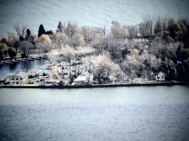
| Toronto Islands. |


No comments:
Post a Comment
You can leave you comment here. Thank you.